Home / Getting to GrandWest in Goodwood
Getting to GrandWest in Goodwood
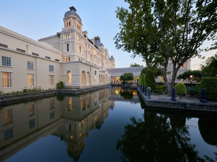
GrandWest stands at 1 Jakes Gerwel Drive, Goodwood, Cape Town, 7460. The complex opened in December 2000, a short drive from the Cape Town city centre.
EntryNo. 01
From the airport
The route from Cape Town International Airport to GrandWest covers 11 km in all. Leave the airport on the N2, heading towards the city. After about 5.5 km, take exit 14, signposted N7 Goodwood (Casino). That exit is the turn to watch for on the first leg of the trip.
On the N7, drive for about 4.5 km. Then follow the sign GrandWest / Thornton towards the complex in Goodwood. Two markers carry the whole route: exit 14 and the sign for Thornton. The exact address and coordinates follow further down this page.
EntryNo. 02
From the city and the Waterfront
Both the Cape Town city centre and the V&A Waterfront lie 15 km from GrandWest. Road routes from either point depend on the start address, so this page does not list turns. The map below opens directions in Google Maps from any starting point, including a hotel, a home or a street in town. In log book terms, that is the simplest heading: one fixed pin, any port of departure.
EntryNo. 03
1 Jakes Gerwel Drive, Goodwood, Cape Town, 7460
Navigators can use the coordinates -33.9178, 18.5449, which mark the complex in Goodwood.
EntryNo. 04
Parking and other ways in
Safe parking is available on the complex for a small flat fee. The general enquiries line, +27 21 505 7777, can confirm the amount. Bus or train links to the complex are not listed on the GrandWest pages. Visitors without a car can check a taxi or ride-hailing app for a route and fare from their own starting point.
EntryNo. 05
The tool below shows the straight-line distance from GrandWest to places around Cape Town, from Bellville to Simon's Town, not the distance by road. For the actual route, the Google Maps link opens directions.
Straight-line distance
| From | Straight line |
|---|---|
| Cape Town | 11.0 km |
| Bellville | 7.7 km |
| Durbanville | 12.9 km |
| Milnerton | 6.2 km |
| Table View | 11.6 km |
| Kuils River | 13.0 km |
| Stellenbosch | 30.0 km |
| Paarl | 43.9 km |
| Wellington | 52.8 km |
| Somerset West | 33.5 km |
| Strand | 33.6 km |
| Muizenberg | 20.8 km |
| Fish Hoek | 26.2 km |
| Hout Bay | 22.3 km |
| Camps Bay | 15.6 km |
| Sea Point | 14.1 km |
| Mitchells Plain | 16.2 km |
| Khayelitsha | 17.7 km |
| Malmesbury | 53.5 km |
| Atlantis | 39.2 km |
| Franschhoek | 53.0 km |
| Simon's Town | 32.3 km |
| Gordon's Bay | 40.3 km |
| Brackenfell | 14.8 km |
| Claremont | 10.6 km |
Straight-line kilometres between OpenStreetMap points; the roads run longer, and no driving time is guessed here.